
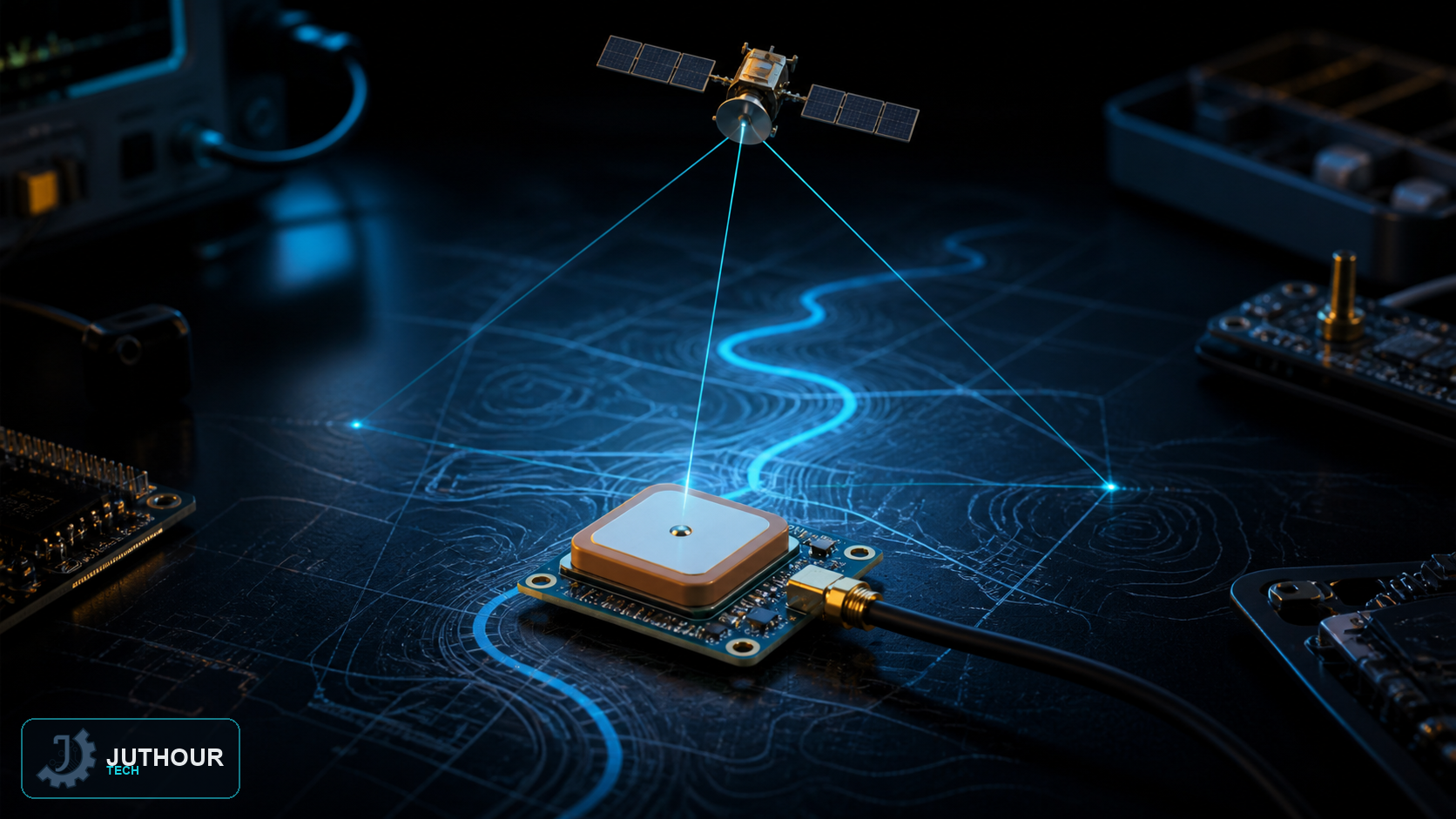
The Global Positioning System (GPS) is a satellite-based navigation system that provides accurate location and time almost anywhere on Earth's surface — the same system we built on earlier with the NEO-6M module and Arduino project.
How the system works
GPS relies on a network of satellites orbiting Earth at an altitude of roughly 20,200 kilometers, with each satellite completing two full orbits around Earth per day. Each satellite transmits a signal containing its precise position and the time the signal was sent (kept by highly accurate atomic clocks). A receiver compares each signal's arrival time against its transmission time to calculate the distance to that satellite, and once signals from at least three satellites are received, the device can calculate its position through triangulation, while additional satellite signals further improve accuracy and correct calculation errors.
Factors affecting accuracy
GPS performs best in open areas with a clear view of the sky. Obstacles between the satellites and the receiver, such as tall buildings or mountains, can introduce significant measurement errors, and accuracy drops noticeably indoors or in enclosed spaces because signal obstruction prevents accurate distance calculation.
A wide range of applications
GPS is used in aviation to optimize routes and provide real-time positioning, in agriculture to automate scheduling for farm machinery, in telecommunications for network synchronization and timing, and even in financial transactions that need precise timing for international transfers.
You can find the NEO-6M GPS module compatible with Arduino at Juthour Tech.
اترك تعليقا